Santa Ana winds are expected to bring critical fire danger and significantly higher temperatures to the Southland, with conditions beginning to change as early as Wednesday and intensifying through Friday, according to the National Weather Service (NWS). This shift in weather follows a period of strong coastal surf that is now diminishing.
Forecasters with the NWS indicate that residents should anticipate a noticeable change in weather conditions starting Wednesday. Temperatures are projected to rise steadily as the Santa Ana wind event develops. Initial forecasts show very light north-northeast winds developing over the mountains on Tuesday and into Tuesday night. These winds are expected to increase in speed each day through Friday, when winds aloft could reach speeds of approximately 40 to 50 miles per hour, the NWS reported. Temperatures across coastal and valley areas are expected to warm by roughly 10 degrees each day, with the peak warmth projected for Friday. Highs in most areas could reach the upper 80s to mid-90s.
The strongest winds are predicted for Friday, with Thursday’s wind speeds not far behind. Wind gusts could reach 60 to 70 miles per hour in wind-prone areas of the San Gabriel Mountains, according to the NWS.
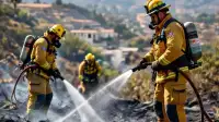
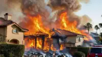
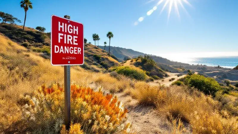
As is typical with Santa Ana wind events, the risk of wildfires will substantially increase. The combination of gusty conditions and dry air has the potential to fuel blazes. The NWS has already issued several warnings and advisories for various parts of the Southland. Wind advisories will be in effect from 6 a.m. Thursday through 8 p.m. Friday for specific locations including the Malibu Coast, the Santa Clarita Valley, the San Fernando Valley, and the Eastern Santa Monica Mountains Recreational Area. A high wind watch is also slated to be in effect from Thursday morning through Friday evening for the Western Santa Monica Mountains Recreational Area and the San Gabriel Mountains.
In addition to wind warnings, a Fire Weather Watch has been issued by the NWS. This watch will be in effect from Thursday morning through Friday evening for the San Gabriel Mountains, the Santa Monica Mountains Recreational Area, and the corridors of the Golden State (5) and Antelope Valley (14) freeways. In these areas, forecasters expect northeast winds of 20 to 40 miles per hour, with gusts potentially reaching 50 to 70 miles per hour. Humidity levels during this period are projected to drop significantly, ranging between 8% and 20%.
A second Fire Weather Watch will also be in place during the same timeframe for the San Fernando Valley, Santa Clarita Valley, San Gabriel Valley, Malibu Coast, and Calabasas. For these regions, winds are expected to range from 20 to 30 miles per hour, with gusts potentially reaching 40 to 50 miles per hour. Isolated gusts up to 60 miles per hour are possible in the hills. Humidity levels in these areas are anticipated to fall even lower, possibly reaching 5% to 15%. The NWS defines a Fire Weather Watch to mean that "critical fire weather conditions are likely to occur in the coming days," urging residents near wildland interfaces to prepare for potential wildfires. Forecasters also noted that these Fire Weather Watches are likely to be upgraded to Red Flag Warnings by Wednesday, indicating critical wildfire danger that could extend into Saturday.
Alongside the fire and wind concerns, heat advisories will take effect. These advisories will begin at 10 a.m. Thursday and continue through Saturday for areas including the Malibu Coast, Los Angeles County beaches, the Palos Verdes Hills, and the Inland Coast, which encompasses downtown Los Angeles.
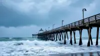
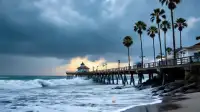
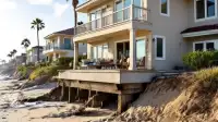
Before the focus shifted to the incoming Santa Ana winds, high surf had presented a concern in some coastal areas. Powerful waves, the aftermath of former Tropical Storm Rachel, had affected Long Beach and Orange County over the past several days but were slowly diminishing on Tuesday. A coastal flood advisory for all Los Angeles County beaches remained in effect until 2 p.m. Tuesday, with forecasters warning of minor to moderate coastal flooding risks in low-lying beach and harbor areas. However, the NWS insisted that “the risk for significant damage is very low.” After 2 p.m., the advisory was replaced by a less severe beach hazards statement through 5 p.m., indicating dangerous rip currents, elevated surf, and some possible coastal flooding.