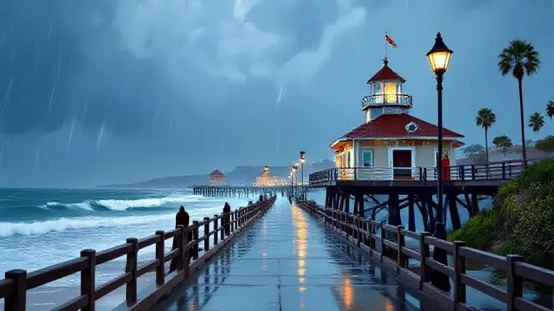
A strong autumn storm is sweeping across the Southland, bringing heavy rain, thunderstorms, and a significant threat of flooding to vulnerable coastal and mountain communities, according to the National Weather Service (NWS). The system, which began reaching Los Angeles County by Wednesday afternoon, is expected to deliver its heaviest rainfall from Wednesday night into Thursday morning.
Forecasters from the NWS indicated on Tuesday that rainfall totals across much of Los Angeles County could average about 1.5 inches. However, areas where terrain enhances rainfall, as well as locations hit by thunderstorms, could see 2 to 3 inches. A targeted Flood Watch, in effect from Wednesday afternoon through Thursday afternoon, has been issued for the Malibu coast and the eastern and western Santa Monica Mountains, including Malibu, Malibu Bowl, Pacific Palisades, and Topanga. The NWS noted that models suggest the highest rain rates, around .75 inches per hour, are likely in these areas.
Flooding could impact urban and poor-drainage areas, with extensive street flooding and potential overflow of creeks and rivers. The NWS also reported a small (5% or less) chance of a weak tornado as the upper low moves inland late Wednesday night into Thursday morning.
For Orange County and the South Orange County coast, residents can expect cooler temperatures and periods of rain, with thunderstorms also possible as the storm tracks through Southern California. This follows several days of unusually hot weather and powerful Santa Ana winds. Wednesday and Thursday are forecast to be cloudy and cool, with daytime highs generally in the mid-60s to lower 70s across much of Los Angeles County. Snow is deemed unlikely below 8,000 feet.
Coastal communities, including those along the San Clemente coast, should anticipate deteriorating marine conditions on Wednesday and Thursday. Thunderstorms and isolated waterspouts are possible in coastal waters. The NWS warned that thunderstorms over the ocean could produce lightning, gusty and erratic winds, small hail, and choppy seas. A beach hazards statement remains in effect through late Thursday night for portions of the Los Angeles County coastline, with elevated surf, dangerous rip currents, minor beach erosion, and tidal overflow possible in low-lying areas.
Dry weather is expected to return on Friday, followed by another round of offshore Santa Ana winds over the weekend. The NWS noted that this upcoming Santa Ana event would be weaker than the one last week, with wind gusts of 30 to 50 mph possible, strongest in the mountains.
In preparation for the storm's impact, the city of Los Angeles has been actively installing reinforced barriers, shoring up hillsides, and clearing debris from neighborhoods and recent burn areas. Officials have encouraged residents to sign up for emergency alerts and prepare essential supplies. Under a mayoral emergency executive order issued after January 2025 wildfires, Public Works crews are continuing mitigation efforts in areas like Pacific Palisades, providing sandbags and installing over 13,000 feet of K-rail. The Los Angeles Fire Department has specialized swift water rescue resources, and the Los Angeles Police Department is ready to assist with evacuations or other emergencies. The Los Angeles Homeless Services Authority teams are conducting outreach to inform unhoused Angelenos about the weather and provide safety information. Street services crews, the Department of Transportation, and the Bureau of Engineering are monitoring roadways and known landslide-risk areas. The Bureau of Sanitation is also monitoring the city’s wastewater conveyance system, with crews regularly cleaning and monitoring 18 debris basins in the Palisades area. Mayor Karen Bass stated, "That’s why we are taking action now to keep Angelenos safe." The city of Los Angeles also made free sand and sandbags available at fire stations.