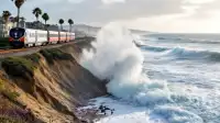
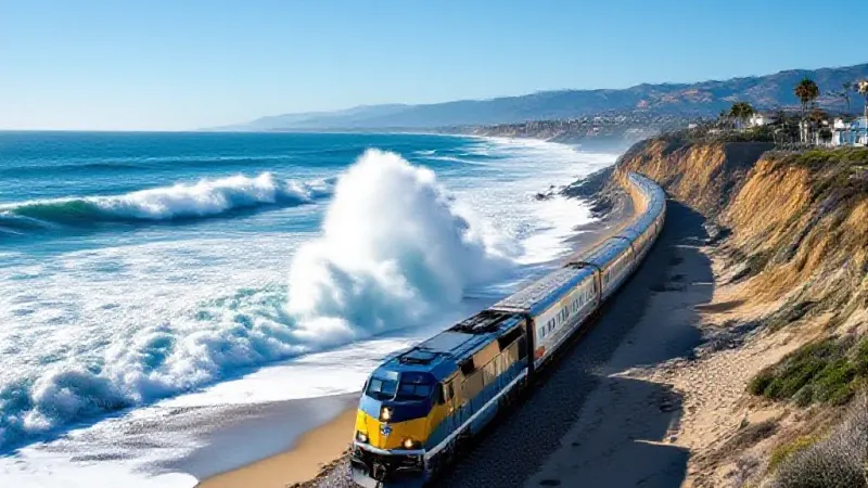
San Clemente’s already vulnerable coastline is bracing for rising sea levels this month as a series of warm water surges, known as Kelvin waves, begin to impact the West Coast. These waves are predicted to lift sea levels by as much as a foot, intensifying concerns over beach erosion and potential flooding in areas like San Clemente, which is already experiencing coastal challenges.
The initial surge, expected to be between six inches and one foot, will travel north along the California coast at approximately 6 miles per hour, or 150 miles per day. Experts anticipate these waves will continue to affect the coastline from October through February, according to the Associated Press.
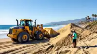
Orange County authorities are actively responding to these threats. Alyssa Napuri, Deputy Chief of Staff for Orange County Supervisor Katrina Foley, confirmed that emergency sand is being placed on beaches as quickly as possible. Napuri noted that waves have already neared the seaside rail line and damaged oceanfront homes last month following swells from Hurricane Marie. She stated, "We’re already struggling as it is."
While Kelvin waves are not like tsunamis and do not crash on the beach, they are described as bulges of water that lift the overall sea level. Michael Jacox, a research oceanographer with National Oceanic and Atmospheric Administration Fisheries’ Ecosystem Science Division, explained that these waves alone may not cause flooding, but they elevate baseline sea levels. This means that when combined with normal high tides, significant storms, or storm surges, the water levels are effectively six inches or more higher, amplifying their impact. "The effects can be amplified," Jacox said.
These phenomena are common during El Niño events, though this year's "super El Niño" could heighten their effects, according to experts. Dillon Amaya, an assistant professor in the Department of Marine, Earth, and Atmospheric Sciences at North Carolina State University, described Kelvin waves as a "fact of life" during an El Niño, a natural climate pattern involving warming ocean waters.
Kelvin waves form when trade winds along the equator change direction. Normally, these winds push Pacific Ocean water west toward Asia. When the winds weaken or reverse, that water bulge is pushed back east along the equator, eventually hitting South America and then moving north and south along the North and South American coasts. These waves are not visible to the naked eye and won't make boats bob, appearing more like a wide, shallow "pancake" extending 12 to 20 miles off the coast and about 200 meters deep, Amaya explained.
Beyond sea level rise, Kelvin waves also warm ocean temperatures and push cold, nutrient-rich waters deeper below the surface, which impacts marine life.
The higher sea levels from Kelvin waves, coupled with larger-than-average waves expected from North Pacific swells during El Niño and large spring tides from October to February, could lead to "exceptional erosion" on the West Coast, according to Sean Vitousek, a research oceanographer with the U.S. Geological Survey. He pointed out that the largest El Niño events in 1982-83, 1997-98, and 2015-16 caused the worst recorded erosion on West Coast beaches. The resulting loss of protective beaches increases coastal flooding and wave impacts on property and infrastructure.
Experts expect more of these waves throughout the winter, as El Niños typically bring five or six Kelvin waves. One already occurred in May or June, and a third is showing signs of formation, Amaya noted. "People are on edge," Amaya added, as the thought of elevated sea states and coastal inundation risk "raises a lot of anxiety."
In response to the broader El Niño threat, California Governor Gavin Newsom declared a state of emergency in late September. This proclamation aims to help the state "move faster to protect communities, stage critical resources, and strengthen readiness before severe weather intensifies," the governor stated. While it is too early to definitively say if this winter will set new records, Amaya emphasized that this El Niño is "on that trajectory of being one of the largest if not the largest El Niño we’ve ever seen."